News
New Infrastructure Projects in Puchong: Solving the Traffic Congestion Crisis
By ExFunCity · 25 May 2026
TL;DR — Discover the latest infrastructure developments in Puchong, including new connecting roads and smart urban planning designed to ease daily travel for residents.
 New Infrastructure Projects in Puchong: Solving the Traffic Congestion Crisis
For many living and working in Puchong, the daily commute is a significant challenge. As one of the most densely populated areas in the Klang Valley, the township has long struggled with traffic bottlenecks, particularly along the Damansara-Puchong Expressway (LDP) and main internal thoroughfares. However, 2026 marks a turning point as the Subang Jaya City Council (MBSJ) and urban planners roll out new infrastructure solutions to improve connectivity.
Tackling Congestion with New Road Connections
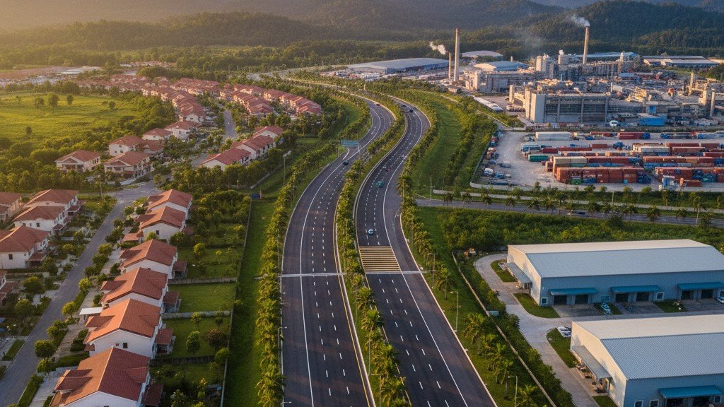
Recent reports confirm that local authorities are prioritizing the construction of secondary roads to divert traffic away from primary arterial routes. A major highlight is the newly completed connecting road between Kinrara Industrial Park and Jalan BK 5B, a RM3 million project specifically designed to shorten travel times for approximately 100,000 residents in the vicinity. By creating these localized bypasses, officials aim to reduce the reliance on a single main road for residents moving between residential zones and major highways.
 Smart Urban Planning and the 15-Minute City
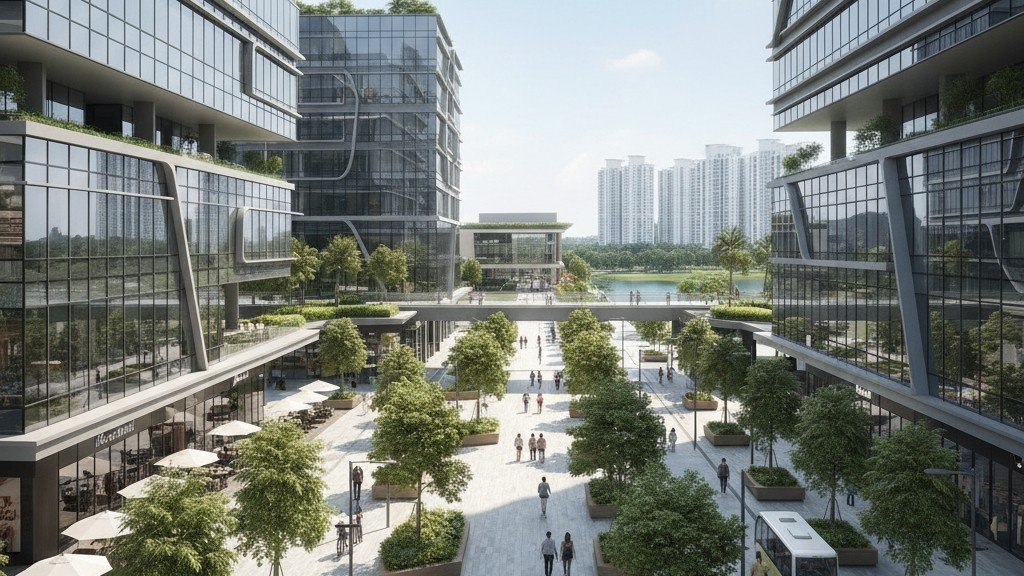
Large-scale developers are also stepping in to reshape the way we move. Projects like IOI Rio City are championing the "15-minute city" concept. By integrating residential, commercial, and lifestyle amenities into a walkable and bikeable urban core, these developments minimize the need for short-distance driving. This shift toward high-density, integrated hubs is a key strategy in reducing the number of private vehicles on the road during peak hours.
Key Initiatives for Resident Mobility
The shift in strategy involves a combination of engineering and digital monitoring. Recent efforts to mitigate traffic include:
- Strategic Road Expansion: Continuous assessment and upgrading of bottleneck areas near major commercial zones like Bandar Puteri Puchong.
- LRT Integration: Leveraging the four existing LRT stations to encourage park-and-ride behavior, effectively bypassing road congestion.
- Real-time Traffic Monitoring: Implementation of smart traffic lights and AI-driven analytics to optimize traffic flow based on real-time vehicle density.
- Localized Access Roads: Developing secondary routes within matured townships to facilitate better movement between neighborhoods without entering the LDP.
How to Navigate Puchong Traffic Today
While construction and long-term planning take time, residents can take immediate steps to manage their commute. Digital tools have become essential for avoiding traffic jams. By leveraging real-time data from Waze and Google Maps, or opting for flexible work arrangements during peak morning and evening hours, commuters can significantly reduce their time spent on the road.
Looking Ahead: The Future of Puchong’s Roads
The goal for 2026 and beyond is a more balanced traffic distribution. As the MBSJ continues to monitor soil conditions and road safety, upcoming projects will focus on ensuring that infrastructure development keeps pace with the rapid population growth of the area. Through better connectivity, smarter urban design, and a shift toward public transport, Puchong is actively working toward becoming a more accessible and livable township for all.